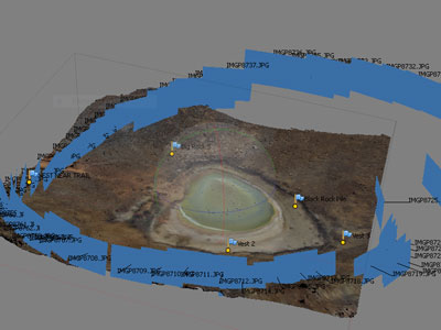
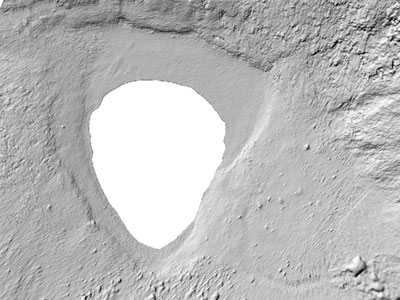
Unmanned aircraft systems allow for high resolution remote sensing for various applications. We are experimenting with DSLR, infrared and multi-spectral cameras for data capture. From these images we can create 3D models and conduct vegetation analysis. These systems have high potential for precision agriculture, archaeology, geology and land use change.
Simulating snow avalanche flow with numerical models and digital elevation model (DEM) data has allowed snow scientists to better understand flow movement in complex terrain. In collaboration with a team of researchers, we are building a prototype from gaming technology to simulate avalanche flow with an OpenGL particle physics based emulation. We are planning to adapt this model for other types of mass movements including rockfall and landslides.
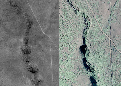
Examining how vegetation, urban areas and terrain vary over time provides insight into how anthropogenic/cultural/historical factors have changed our landscape. For this particular research project we are examining the vulnerability of cultural/historical resources to current invasive vegetation distribution and predicted vegetation extent based upon climate change dynamics.
Examining how vegetation, urban areas and terrain vary over time provides insight into how anthropogenic/cultural/historical factors have changed our landscape. For this particular research project we are examining the vulnerability of cultural/historical resources to current invasive vegetation distribution and predicted vegetation extent based upon climate change dynamics.