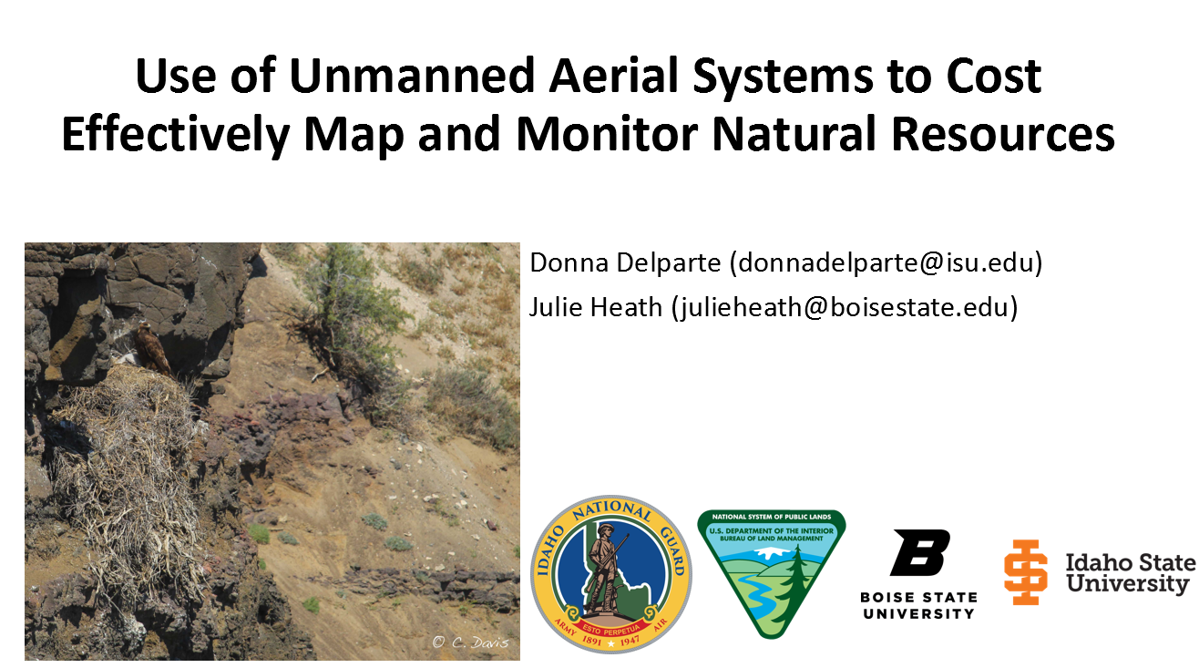
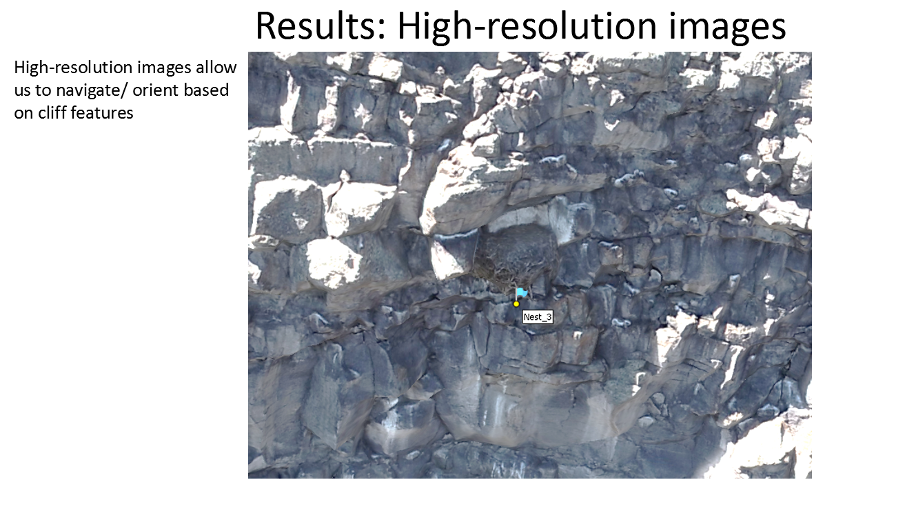
It is important to monitor the health of raptor populations in response to environmental changes and to develop effective management options for emerging threats. Unfortunately, precise nest locations on vertical cliffs along the Snake River and rocky outcrops near the canyon can be difficult to record or identify, particularly from year to year. This error creates challenges for monitoring because of misidentification of nests, and inefficiencies in surveys. The purpose of this project is to create a 3-dimensional atlas of raptor nests on cliffs and rocky-outcrops that accurately and precisely represents nest locations and increases the transfer of knowledge about nest sites from year-to-year and between land management partners. This atlas covers approximately 50 km of raptor nesting sites along the north- and south-facing cliffs of the Snake River.