Study of GIS fundamentals, coordinate systems, vector and raster data analysis, introduction to GPS, geodatabases, and metadata. Practical application of Esri GIS software. Build, edit, and query a GIS; basic spatial analysis. Requires competence in computer operating systems. COREQ: GEOL 5503L
Computer lab assignments to apply principles from GEOL 4403/5503. COREQ: GEOL 4403/5503
GIS applications in natural and social sciences, ethical and legal issues, current status and recent advances in GeoTechnology. Prepare abstracts, thesis prospecti, literature reviews, and presentations and learn to manage references.
Study of relational geodatabases, including spatial analysis, modeling, and remote sensing. Practical application of GIS software as well as open source GIS. Exercises include digitizing, querying, digital terrain modeling, and image processing.
Explore web mapping using Esri’s JavaScript API, ArcGIS Online, Google API and other open source tools. Create visualizations for geo applications in the form of Augmented Reality and other 3D visualizations. Build skills and knowledge to create customized web mapping applications, mobile based apps, and advanced visualizations.
Description, analysis and modeling of spatial data, emphasizing hands-on application of geostatistical software tools for spatial analysis and probabilistic modeling in the geosciences.
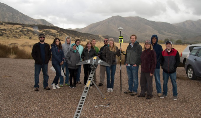
Unmanned Aircraft Systems (UAS) are on the rise as a tool for geoscientists to collect remotely sensed data. Topics will cover the varied applications and regulations of UAS. Learn the workflow of UAS data collection, processing and analysis approaches. Determine which UAS platform and sensor is appropriate to geoscience research questions. Includes field demos and hands-on learning.
Explore course offerings in the geosciences